- prev
- next
Description
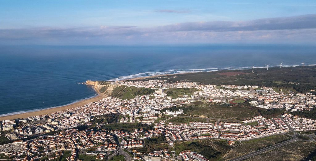
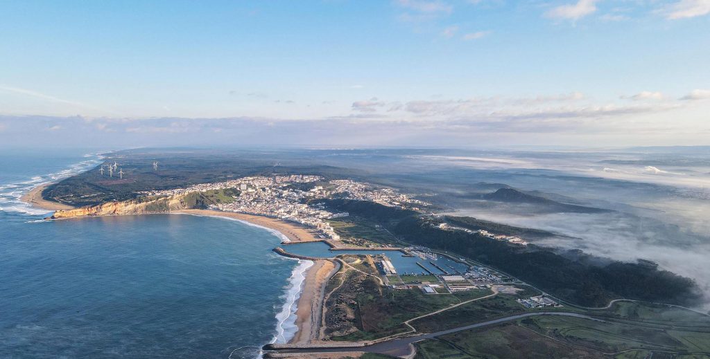
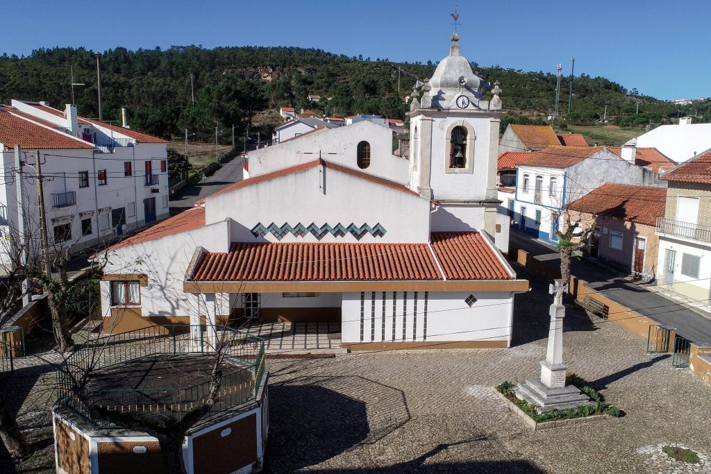
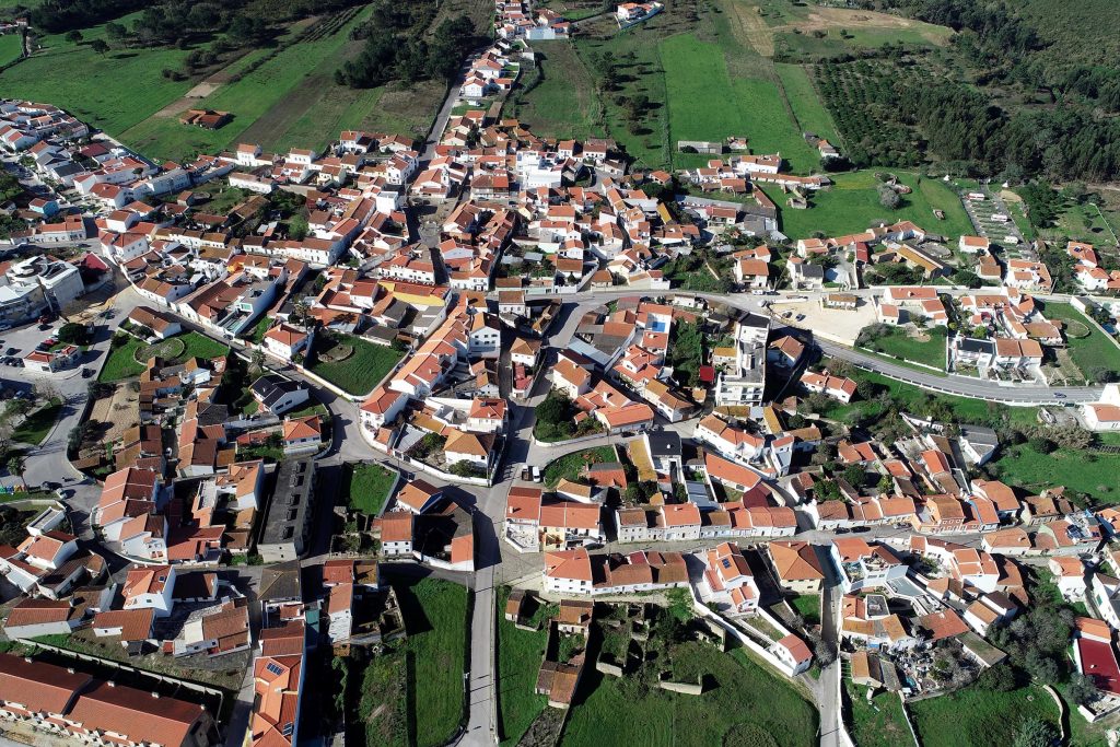
The small town of Nazaré consists of 3 important population centres: Praia, Sítio and Pederneira, and the settlement of Fanhais.
The name Nazaré is attributed, since 1912, to the urban complex formed by the historic centres of Praia, Sítio and Pederneira, with different chronological and community origins, and which are urbanistically interconnected.
This connection comes from its natural expansion, but above all, more recently, from the creation of new residential areas, such as Urbisol, Rio Novo and Nova Nazaré.
Image Gallery
Description
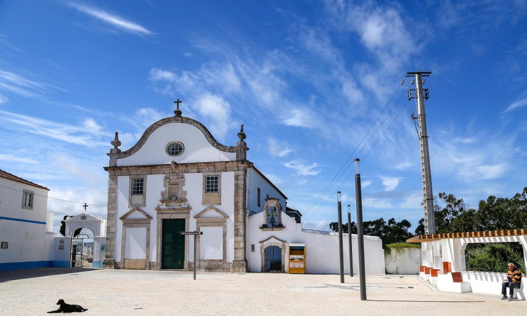
This part of the town has been a fishermen’s land since the 12th century, and was once called “Seno Petronero” which means Gulf of Pederneira. In those times the village was placed farther inland and fishing in the gulf was the main activity of the population. The village developed, in the end of the 15th century, with the arrival of fishermen from the nearby seaport of Paredes, which was destroyed by the silting up of its harbour. Pederneira was one of the most important seaports of the lands of the Cistercian Monastery of Alcobaça.
During the golden age of the Portuguese Discoveries – 15th and 16th centuries – it was one the most active shipbuilding yards of the kingdom, from where sailed away many vessels and caravels. By the Pederneira seaport were shipped out the goods and woods from the King’s Pinewood to the capital and overseas lands. Out of the fishermen’s population were recruited many sailors to the Indian Sea Route.
The development of Sítio and the progressive drawback of the sea due to the silting up of the gulf, and the formation of the new beach, led to the decline of Pederneira in the end of the 18th century. Not even the arrival of fishermen from the area of the Aveiro Ria was enough to give it some vitality. Slowly the inhabitants moved to the new bay.
Nowadays, Pederneira is one of the town centres, peaceful and pleasant; an attentive belvedere of the sea and of the beach bellow, guardian of past memories.
Image Gallery
Description
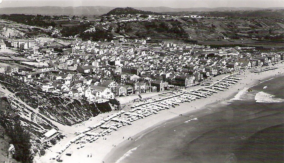
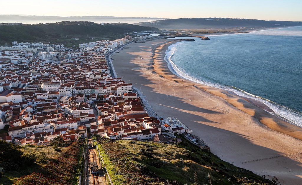
The beach of Nazaré has a relatively recent origin, for until the 17th century the sea occupied most of the area where today stand the houses. The geological transformations occurred during that century made the retreat of the sea and the silting up of the area, leaving the lovely bay uncovered.
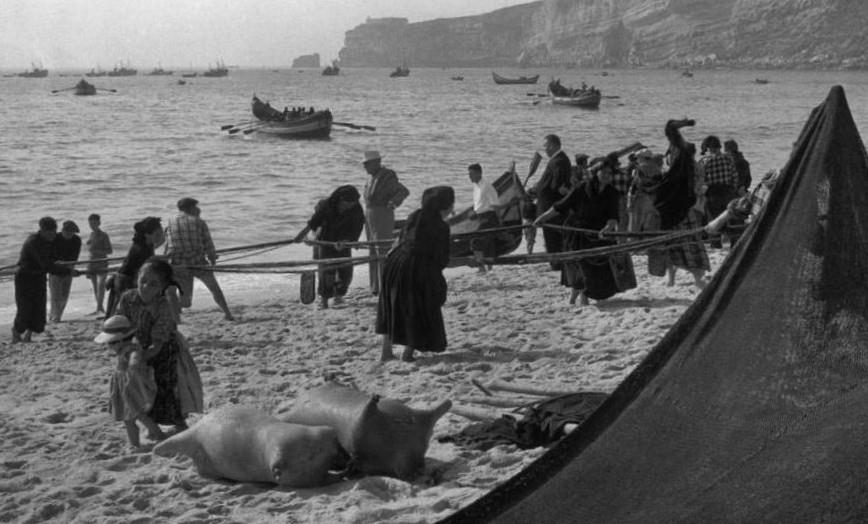
The first references to fishing in Nazaré date from 1643, however, only in the beginning of the 19th century did the population start to live in the new beach. Until then, the fishermen lived, mainly, in the upper parts – Sítio and Pederneira – since the constant attacks of Algerian and Dutch pirates made the beach a very unsafe place.
Nazaré was first known and demanded as a seaside resort in the middle of the 19th century. Its natural beauty and typical characteristics drew the visitors’ attention. Fishing, fish transformation and its sale were the main activities of the population during most of the 20th century.
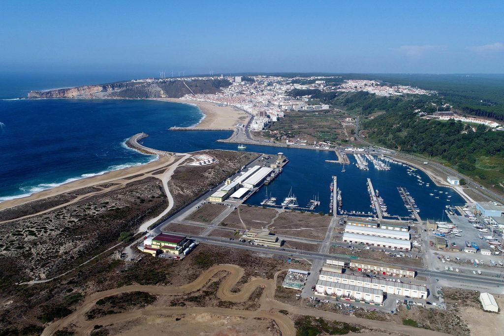
The harsh and dangerous sea life has made many fishermen leave their hometown seeking for better living conditions. The construction of the Harbour, in the 1980s, has changed and improved the fishermen’s living conditions, thus starting a new period on the population’s daily life. In the 1960s, tourism discovered the charm of the beach and the town became known all over the world.
Every year, Nazaré receives the visit of thousands of national and international tourists, being today a modern and always lively town. To walk down its narrow streets towards the sea, is to discover a way of living still genuine and peculiar, with surprises at every corner! Beauty, memories, charisma and traditions make Nazaré the most unforgettable Portuguese beach.
Image Gallery
Description
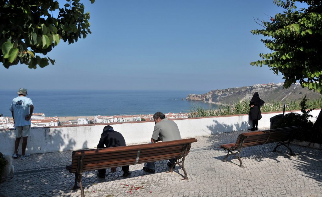
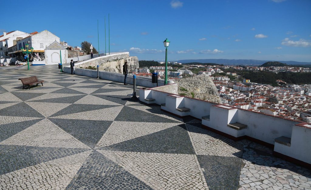
Sítio, on the top of the promontory, at an altitude of 110 meters, opens onto one of the most beautiful maritime panoramas in Portugal.
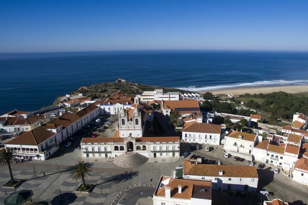
Genesis of the town's name, a place of miracle, worship and pilgrimage since at least the 14th century, Sítio developed as a village only in the middle of the 17th century due to difficult access, having grown considerably during the following century.
The installation of a Funicular linking “Praia” to “Sítio”, in 1889, originated a new population increase as well as tourist visits.
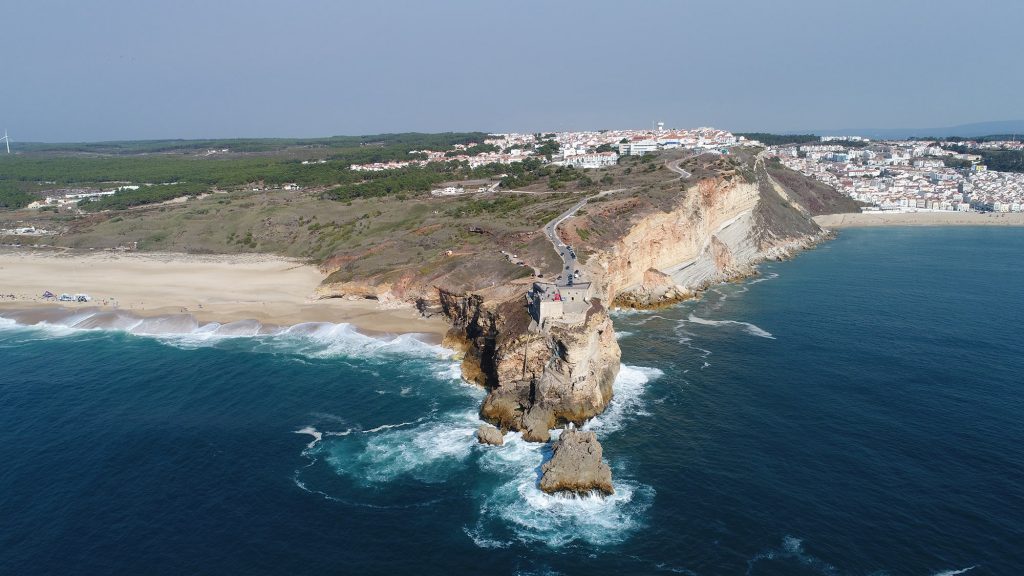
The historical and religious interest and an incomparable natural beauty are the main attractions of Sítio da Nazaré. The long promontory that guards and protects the beach has at its end the Fort of S. Miguel Arcanjo. Nowadays Sítio knows a new pilgrimage, between October and March, of all lovers and curious to see the Biggest Waves in the World.
Image Gallery
Description
The municipality of Nazaré consists of 3 parishes: Nazaré, Valado dos Frades and Famalicão, it has an area of 82.5 km2, about 15,000 inhabitants and one of the most famous beaches on the Portuguese coast.
Most of the area of the municipality is made up of flat and sandy terrain, with some patches originating from old silts that formed after the receding of the sea. Coarse, clean sand is found shallow.
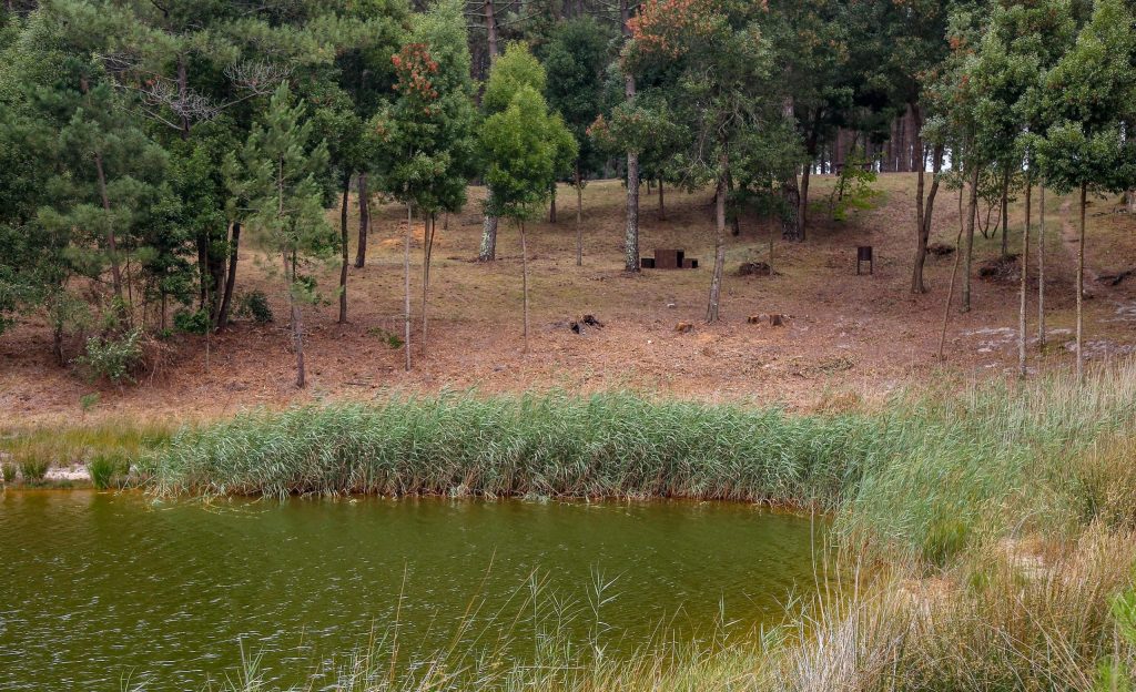
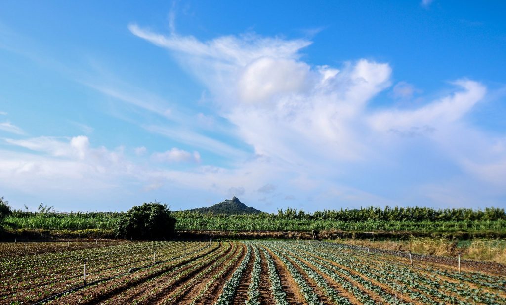
To the north of the Municipality the land is made up of dunes covered with pine trees, with some cultivated and productive lowlands. The entire horticultural culture has a great development, especially in the very fertile fields of Valado, and where a true tradition remains from the monks of the Monastery of Alcobaça
Fishing absorbed most human activities, both coastal and offshore fishing.
Nowadays, although fishing and agricultural activities remain in the municipality, tourist activity has been monopolizing a large part of the municipality's human resources.
Image Gallery
Description
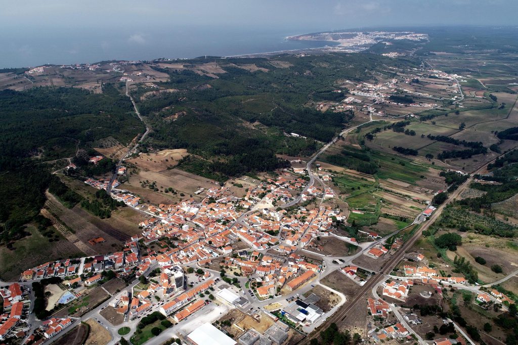
Parish of Nazaré, Famalicão is only 8 km from the county seat. At the foot of Serra da Pescaria and surrounded by fertile fields, the village, with an area of 21.8 km2 and about 1,700 inhabitants, is crossed by the Western railway line (CP).
Essentially rural and agricultural in nature, Famalicão has its settlement linked to the inhabitants of Paredes da Vitória, who in the early 16th century came to settle here, bringing with them the cult of Our Lady of Victory, which caused friction between new and old residents. At that time, the village was divided into Famalicão de Baixo, which belonged to Alfeizerão, and Famalicão de Cima, which belonged to Pederneira, and to which the inhabitants of Paredes came.
Until the 18th century this division was maintained, when the conflict between the two was “won” by Famalicão de Cima, unifying into a single village, which began to grow as a parish, under the protection of its patron – Our Lady of Victory – celebrated every year in August.
Like Pederneira, Famalicão was also part of the Cistercian domains, having been a vicar of the Monastery of Alcobaça, later becoming a priory.
Currently, Famalicão is a village in continuous development, whose economic base is agriculture and fruit production, with the wood fibre and ceramics industry being a pole of growth in the parish.
The still undiscovered beauty of Serra da Pescaria and Praia do Salgado are an asset to the land and a tourist spot to know, especially for lovers of sport fishing, nature and hiking.
Image Gallery
Description
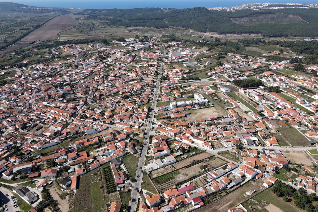
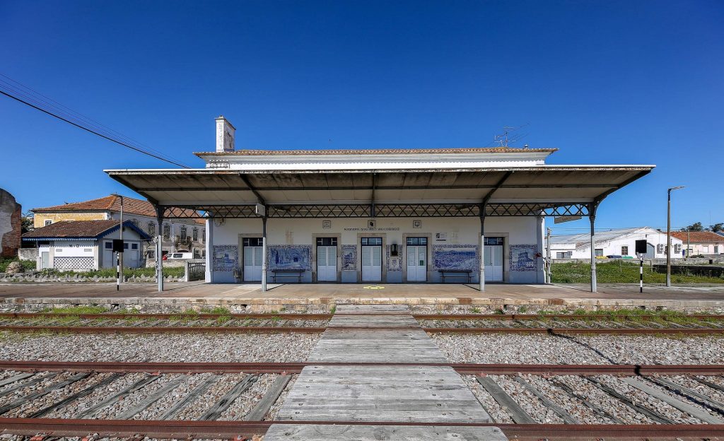
Village located 6 km away from Nazaré, next to the Oeste railway line and the access point to the A8 motorway, it is the second largest parish of the municipality, with around 3,100 inhabitants, spread over 18.37 km2.
Archaeological finds attest to the Roman occupation of the area; however, the settlement of the village seems to have only actually started in the 13th century, with the draining of Paúl da Cela (bogland) at the request of King D. Dinis.
Valado belonged to Pederneira, and was therefore within the lands of the Coutos de Alcobaça, having therefore been populated and developed by the Cistercians monks.
The origin of the name Valado derives from “veiled” or “to watch”, as there was a monk in charge of watching over the fields belonging to the Monastery, according to the opinion of some scholars; according to others, the toponym derives from “vallo” or “vallu”, a Latin word that can mean both defence and irrigation work or land division.
The presence of the friars left visible marks on the village, besides the name of the place. It was the Cistercians who were the main drivers of draining the fields (former marshes and boglands, left by the retreat of the sea, which once covered the region), and adapting them to agriculture. Here they installed one of the 10 agricultural farms of the Coutos, in which they founded, in the 14th century, a “School of Hydraulic and Agricultural Engineering”, at Quinta do Campo - today transformed into a beautiful unit of Tourism in a Manor House.
The current Valado is a dynamic village, where intensive farming of smallholdings is the population's economic base, with the ceramics, porcelain and earthenware (utilitarian and decorative) industry being the other major pole of development in the parish. The installation of a Business Location Area gave a new economic impetus to the village, creating at the same time several jobs.
Sporty and socially very active, the village has the necessary infrastructure to practice various sports: roller hockey; skating; basketball and indoor soccer. Cultural and recreational associations play an important role in the lives of the people from Valado.

